Flexible Navigation. Connected Runnable Zones
We designed a system that empowers runners to confidently explore new environments, offering both flexibility and guidance. The system supports exploratory running through flexible tours in the best running areas in a neighbourhood.
Problem statement
Runners face several challenges when exploring unfamiliar areas, such as the risk of getting lost or being disrupted by traditional navigation tools. They seek a solution that seamlessly blends exploration and exercise, providing freedom to explore while ensuring safety and orientation.
EXPLORATORY STUDY
We conducted interviews and a survey with runners to gather insights on their habits, preferences, and challenges faced in unfamiliar settings.
We found that a large majority of the survey respondents (including 139 runners) explore new paths or would like to do so. Nearly half of those runners pre-select interesting areas to explore, mainly because they are pleasant and easy to access, and most of them rather explore the various paths that these pre-selected areas contain instead of repeating the same loops. Our research revealed a strong desire for a balance between guided navigation and freedom to explore. It also provided insights into the type of technologies runners used to support their activity, highlighting the limitations of existing navigation solutions, which often either restrict runners’ exploratory instincts or leave them feeling disoriented.
THE CONCEPT
We ideated a system that analyses maps data to create runnable zones and lets runners explore them with minimal navigation support.
Our concept focuses on automatically identifying zones within neighbourhoods that are optimal for running, based on factors like road safety, greenery, low traffic, and the presence of paths that would enable uninterrupted running. By linking these runnable zones through fixed paths and providing adaptive navigation support, the system allows runners to reach their target distance and immerse in their surroundings without the constant need for disruptive navigation cues, ensuring an enjoyable running experience.
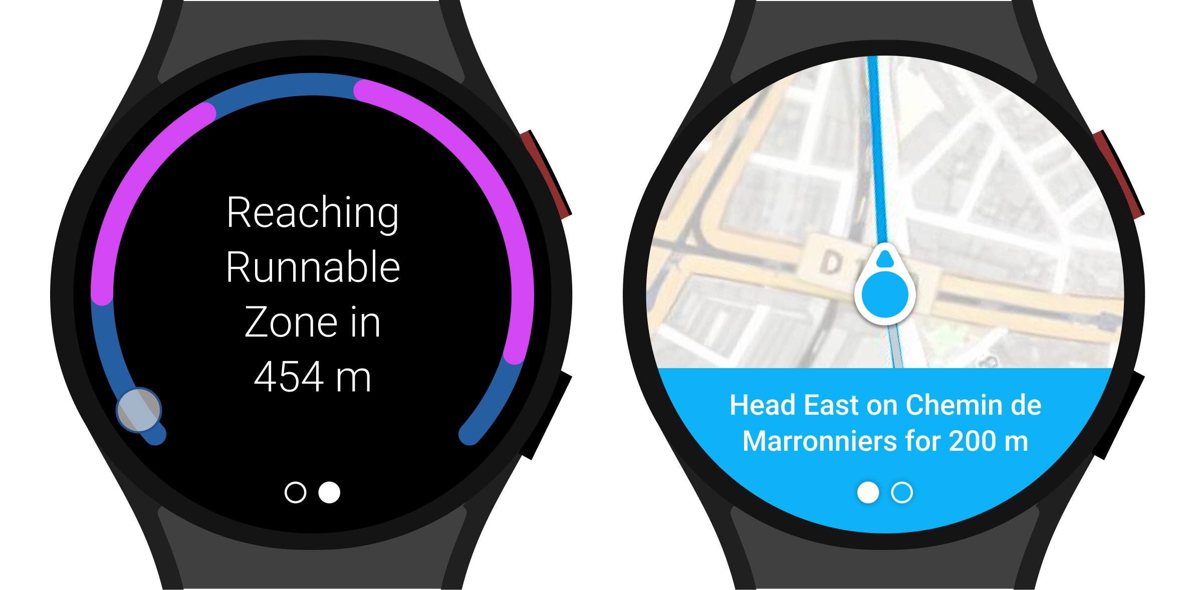
Turn-by-turn navigation support on the connecting paths.
The smartwatch app provides turn-by-turn guidance towards the nearest runnable zone. It provides visual cues, paired with voice commands and haptic feedback.

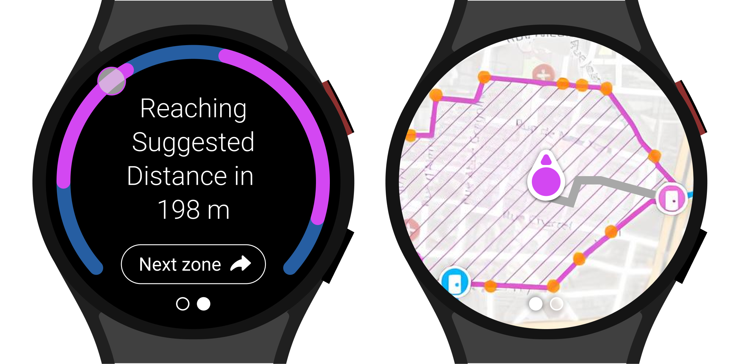
Minimal navigation support on the runnable zones.
The smartwatch app shows an overview of the runnable zone, letting the runner explore freely and triggering feedback only when the runner approaches a limit of this zone to prevent them from leaving it, or once the target distance is reached.

USER TESTING
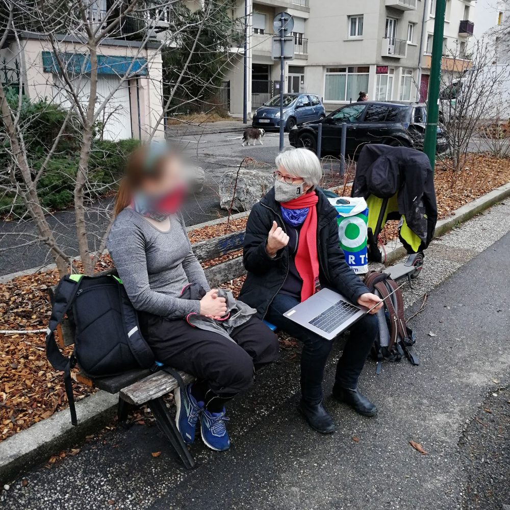
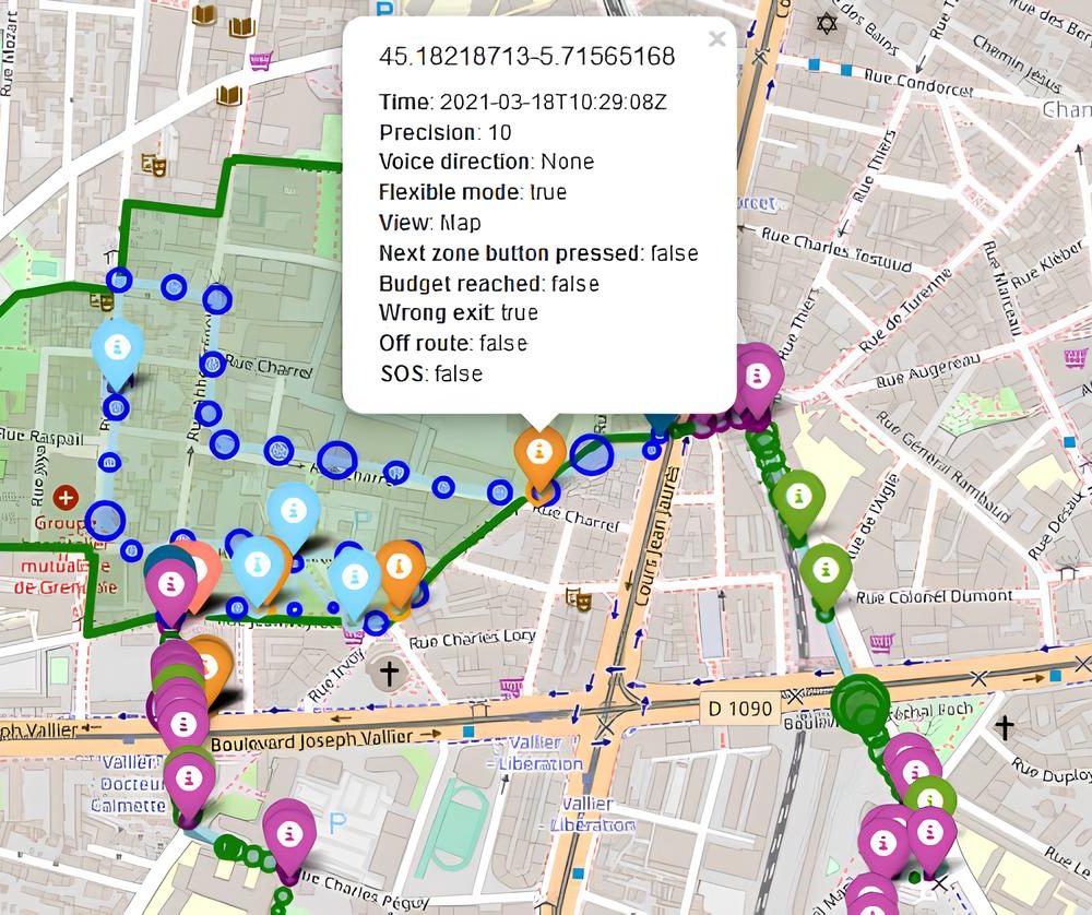
We implemented and evaluated a prototype of the smartwatch application in a 5km tour with 26 runners.
LESSONS LEARNED
Existing user behavior can hold the key to designing innovative solutions that address unmet needs.
Understanding runners’ strategies in unfamiliar environments directly inspired a solution that not only fulfills their unmet needs, but also integrates seamlessly into their exercise routines. This project highlights the power of user-centered design and how insights from real-world behavior can lead to practical, impactful innovations that improve the overall user experience.
LEARN MORE.
Apparatus and Method for Hybrid Navigation of a Pedestrian Tour
Shreepriya, Gallo, Willamowski. US20220113143A1. Patent →
FlexNav: Flexible Navigation and Exploration through Connected Runnable Zones
Willamowski, Shreepriya, Legras, Gallo. 2022. Conference on Human Factors in Computing Systems. Full paper (CHI). Paper & Video →


